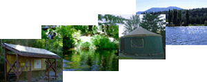
Leland Watershed Photos
 Fish gate at the outlet from Lake Leland. It is not functional as a gate but does seem to obstruct water flow.
 |
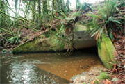
 Culvert under Leland Valley Road is likely blocked by debris as it provides insufficient passage for water under the road.
 |
 Leland Creek meets Leland Valley Road, a probable fish barrier.
 |
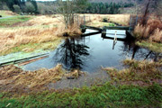
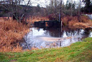
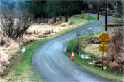 Leland Valley Road paved through Leland Creek. The road is usually flooded over in the winter.
 |
 5 feet by 5 feet, box culvert where Leland Creek flows under SR101. The culvert needs regular monitoring and maintenance.
 |
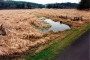
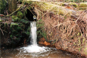 Tributary to Leland Creek at mile post 3 of Leland Valley Road. It is a known fish bearing stream. The culvert is 3 feet up from the pond and in need of improvement.
 |
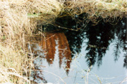
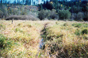 Leland Creek along SR101 surrounded by reed canary grass.
 |
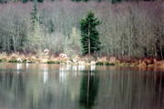 Trumpeter swans and snow geese on Lake Leland.
 |
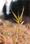 Reed canary grass may be a threat to fish habitat due to the lowered dissolved oxygen levels and channel clogging it causes. |
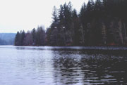
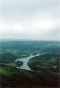 Aerial view of Lake Leland facing toward the North. |
Water Sampling Photos
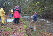
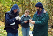 Mr. Baker and students prepare for sampling.
 |
 Students sampling at LC1.
 |
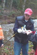 Students taking DO sample |
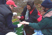 Sally demos DO sample preservation procedure.
 |
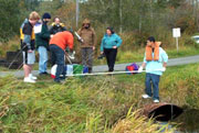
 PEI QAQC team samples along Highway 101 |
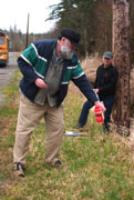
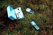 PEI field meters.
 |
 Wier at LC3.
 |
 Mr. Baker and students sampling LC3.
 |
 Two swans from Gilbert dock, LL4.
 |
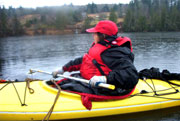 Sampling at mid-lake.
 |